OpenScienceMap 0.5 is here! And it is more than a small update, it is a huge step forward. There are many new things you can experience:
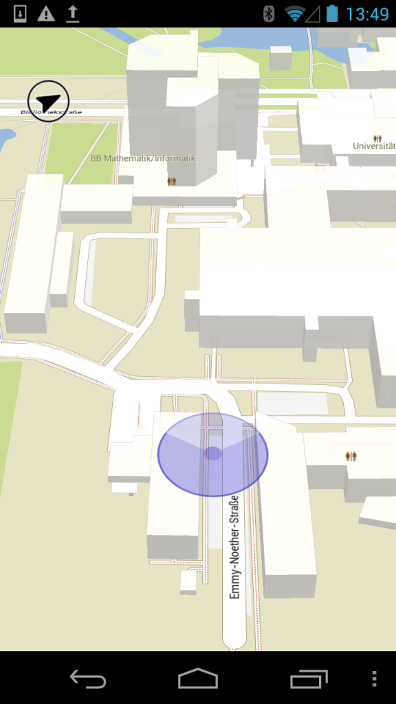
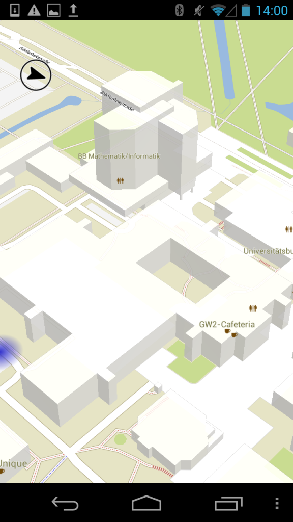
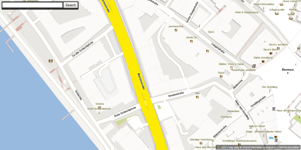
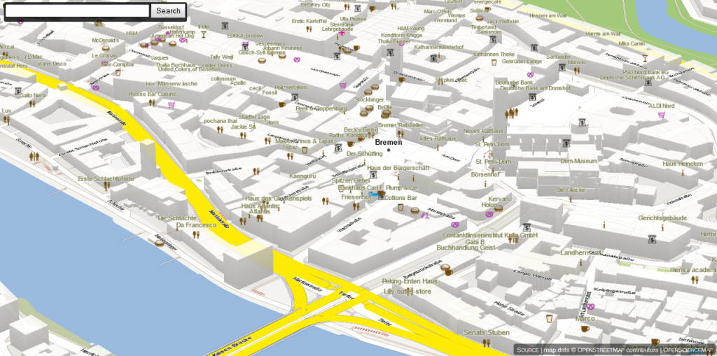
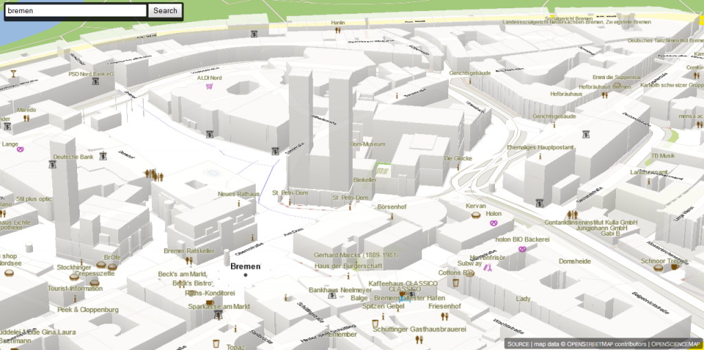
- 3D Buildings: all buildings of OSM are now in OpenScienceMap! Touch ground and tilt the map!
- Satellite imagery: find satellite imagery in the “Layers” menu
- Compass: we now have a compass rose in the map view
- Compass click-thru: click on the rose to jump through position & compass settings
- 3D Compass: tilt your device to tilt the map
- Position viewshed: the position indicator shows the direction you are facing and the accuracy of your positioning
- Offscreen positioning: the blurry animated indicator shows the direction of your current position
- POIs: we have a large number of POIs in the map
- Better data: we worked on some of the data and improved a lot.
Of course, all the previous features like DistanceTouch are still in!
Download, use, and spread the word!
3D Buildings, Position Indicator, Viewshed, Offscreen-Positioning
The blue circle indicates the current position, the size reflects the positioning accuracy, and the light blue tart slice indicates the direction towards you are facing. Whenever you move the map, your position can get shifted off-screen. The blurry blue dot indicates where you can find your position (right screenshot).
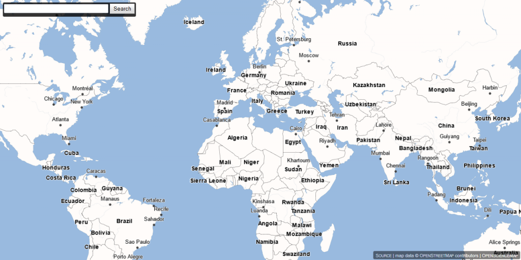
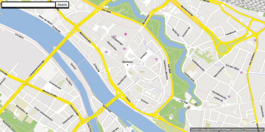
Satellite Imagery
Enjoy our colorful world with satellite imagery (not available on all zoom levels).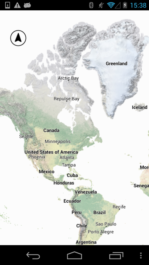

 |
[wpfilebase tag=file id=11/] |
To get the latest version of OpenScienceMap just scan the QR-Code above or click the “OpenScienceMap” link next to it to get the .apk file. To use OpenScienceMap on your device you will have to allow the installation of applications NOT coming from Google’s PlayStore (if you run one of our previous versions you need to uninstall it first):
- 1. Open the “Settings” menu
- 2. Click “Security”
- 3. Tick “Unkown Sources”
That’s it! Installing and running OpenScienceMap is 100% safe!
